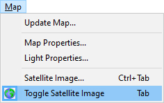
To hide/unhide the satellite image, use Toggle Satellite Image command.
You have following possibilities to launch Toggle Satellite Image command:
- From Map drop down menu select Toggle Satellite Image
- Using icon from the toolbar

- Using keyboard shortcut: Tab